
Our Services
At Donegan Family Land Surveying, LLC we are well versed in all things surveying. There are quite a few different types of surveys. Below are some of the most common services we offer. If you see what you need below let us know, and if you’re not sure give us a call or hit the “Request a Survey” button and fill out the form and we will help you find what you need.
Boundary Retracement Survey
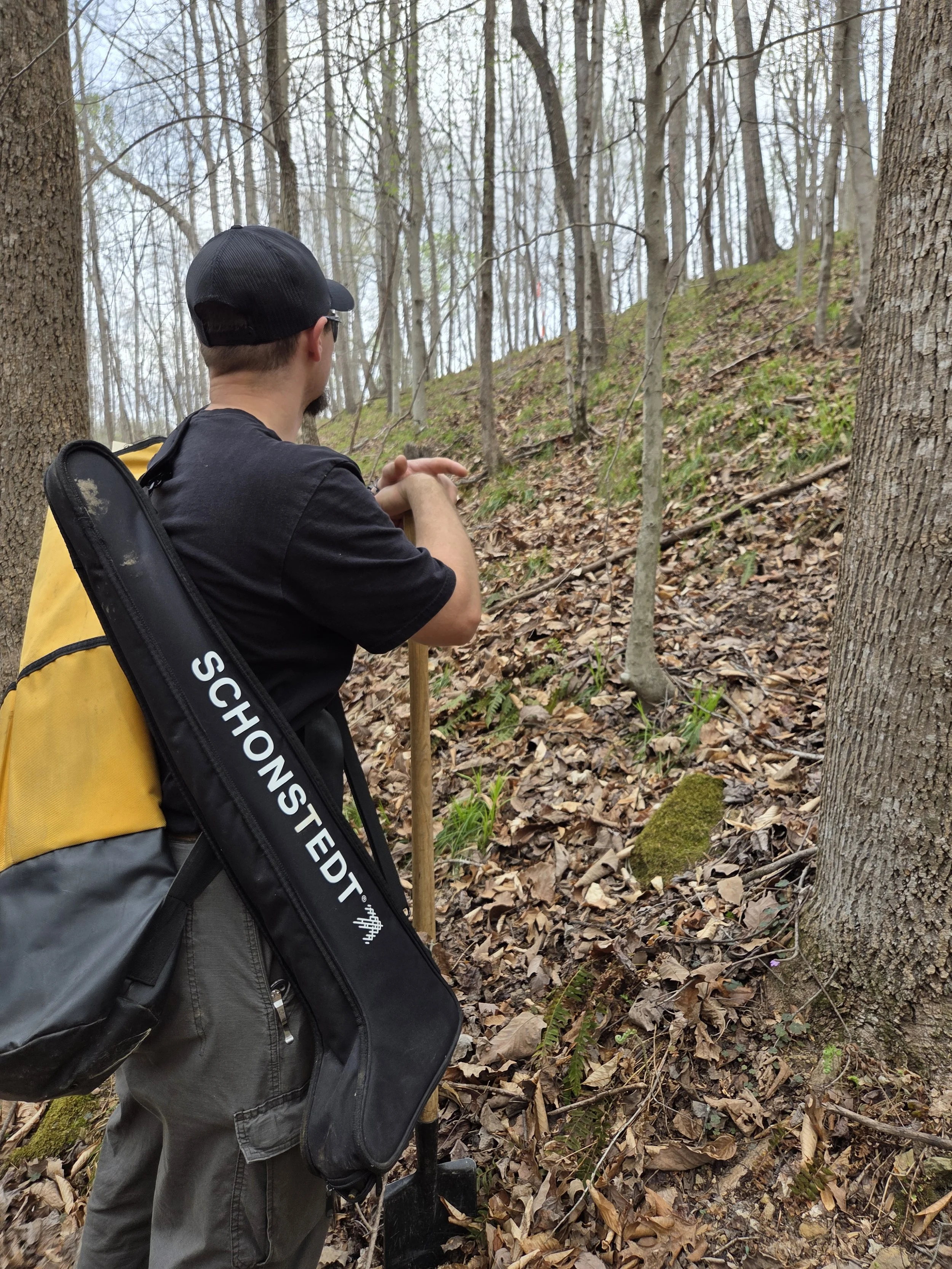
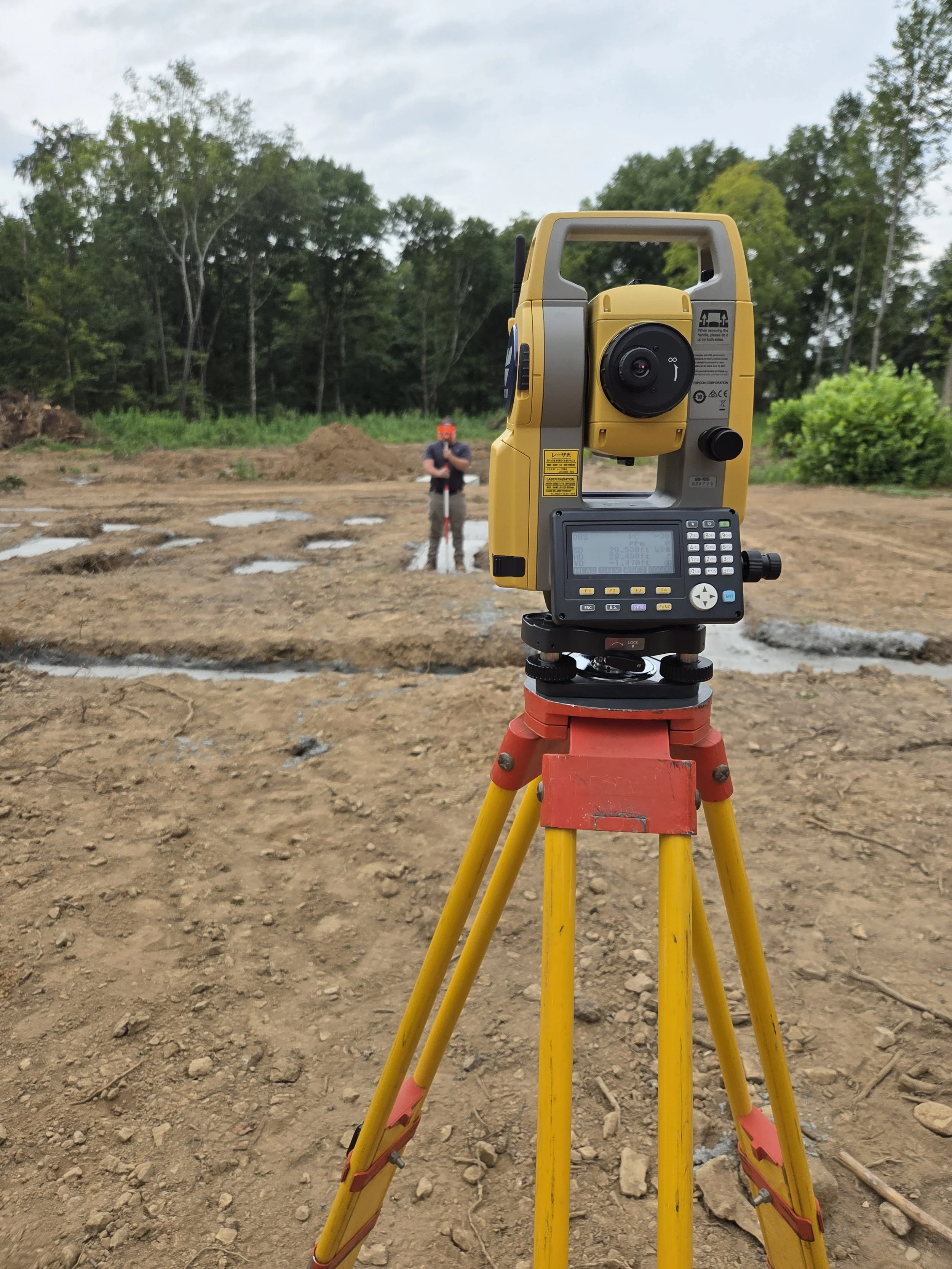
A boundary retracement survey is a type of land survey focused on re-establishing and verifying the exact boundaries of a property based on existing legal descriptions, historical records, and evidence found on site. To put it simply, it’s when a surveyor goes out to find and confirm where property lines already legally exist, rather than creating new ones.
What’s included:
Records search of the property and all the adjoining properties
Finding and marking existing boundary monuments
Noting physical evidence of the property lines such as fences, walls, or tree lines
Resetting boundary monuments that have been lost
Creating a plat or map that shows the property lines, measurements, and improvements on the property
New legal description that can be recorded as a deed for the property
When it’s needed:
Property disputes
Buying or selling land
Locating lost or unclear boundary markers
Verifying boundary lines before construction
Property Line Staking
A property line staking survey is a type of surveying process in which a licensed surveyor physically marks (or “stakes”) the exact boundaries of a property on the ground.
What’s included:
This type of survey does not include a plat (map), legal description or any other paperwork
Records search of the property and all the adjoining properties
Finding and marking existing boundary monuments
Noting physical evidence of the property lines such as fences, walls, or tree lines
Resetting boundary monuments that have been lost
When it’s needed:
A property owner wants to build a fence, home, or addition
Neighbors need clear boundary identification
There is uncertainty or a dispute about where property lines are located
Boundary Survey (Division)
A boundary survey or division is a type of land survey where the surveyor is making a new parcel of land. This differs from a Subdivision in that the new parcel will be greater than 5 acres. This is usually done when a single parcel is being split into two or more parcels.
What’s Included:
Locating and verifying the existing boundary of the original parcel
Designing the new property lines
Setting new boundary monuments at the property corners
Creating a plat (map) that shows the new parcels
Writing a new legal description for the new parcels
When it’s needed:
Dividing land to sell part of a property
Dividing land among family members or heirs
Creating multiple tracts for development
Subdivisions
A Subdivision is a type of land survey where the surveyor is making a new parcel of land. This differs from a Boundary or Division in that the new parcel will be less than 5 acres. Because it is less than 5 acres it is required to meet the requirements of the regional planning commission.
What’s included:
Locating and verifying the existing boundary of the original parcel
Designing the new property lines
Setting new boundary monuments at the property corners
Creating a subdivision plat (map) that shows the new parcels
Coordination of Soil Scientist and Environmentalist to designate septic areas (if needed)
Coordination of review and approval from the planning commission
Collecting required signatures on the plat and having it recorded at the Register’s Office
When it’s needed:
Dividing land to sell part of a property (under 5 acres)
Dividing land among family members or heirs (under 5 acres)
Creating multiple lots for development (under 5 acres)